| Intensive
Systematic Survey |
|
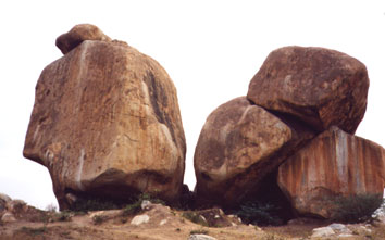
Together with stratigraphic recording of exposed sections, and targetted excavation and re-examination, we are preparing a detailed archaeological record for this sites, many of which are presently being destroyed or have already been removed, by ongoing granite quarrying activity.
|
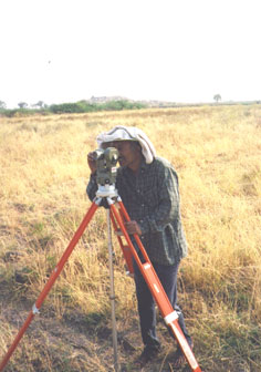
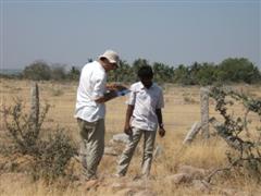
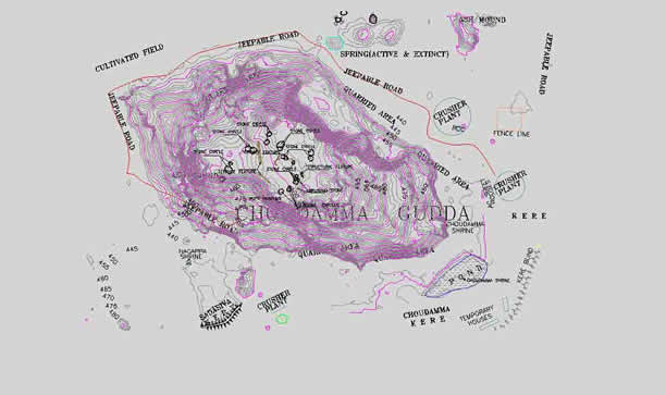
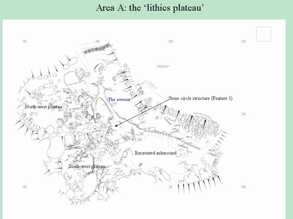
A key part of the project involved systematic survey in the Sanganakallu-Kupgal archaeological heritage area. This area contains numerous sites and activity areas, including permanent and temporary habitation sites, stone quarrying and tool production areas, rock art sites, rock shelters, ashmounds and megaliths. At Sanganakallu-Kupgal, as at other reported Neolithic sites, Neolithic activity areas appear to focus on the granitic outcrops themselves, and a key aim of the survey was to test this hypothesis. This began in 2002 when a random selection of fields in an area up to 2 km from the hills were selected for intensive systematic survey through fieldwalking along transects set 50m apart. In the subsequent years this has involved detailed surveying and mapping, carried out by the Bangalore firm KPS Geosystems, Ltd., in consultation with archaeological team members. This has produced new, detailed basemaps, like the example below.
|
| Research:
Archaeological Background, Introduction
to Project, Intensive Systematic
Survey, , Geoarchaeology of
Ashmounds, .Archaeobotany and Agriculture,.Re-investigating Kudatini Ashmound,
Sarcophagus Burial at Kudatini, Rock
Art, Landscape and Cosmology, References.
Other Information: Training,
Protection of Sites and Monuments, Conference, ..Future
Prospects, Project Team, Publications & Presentations, Web Link, Funding & Acknowledgments |